
North America -- United States of America -- Commonwealth of Massachusetts -- Plymouth County -- Middleborough
Middleborough
Middleborough (Nemasket "place of fish") is a town in Plymouth County Massachusetts that is within the territorial homeland of the Wampanoag. English colonists settled it first as Middlebury, which was incorporated as Middleborough in 1669. In 1735, Halifax was created from parts of Middleborough, Plympton, and Pembroke. The boundary line between Middleborough and Carver was established in 1813. In 1853, Lakeville formed from the south-westerly part of Middleborough. Annual Statistics of the Commonwealth of Massachusetts (1864).
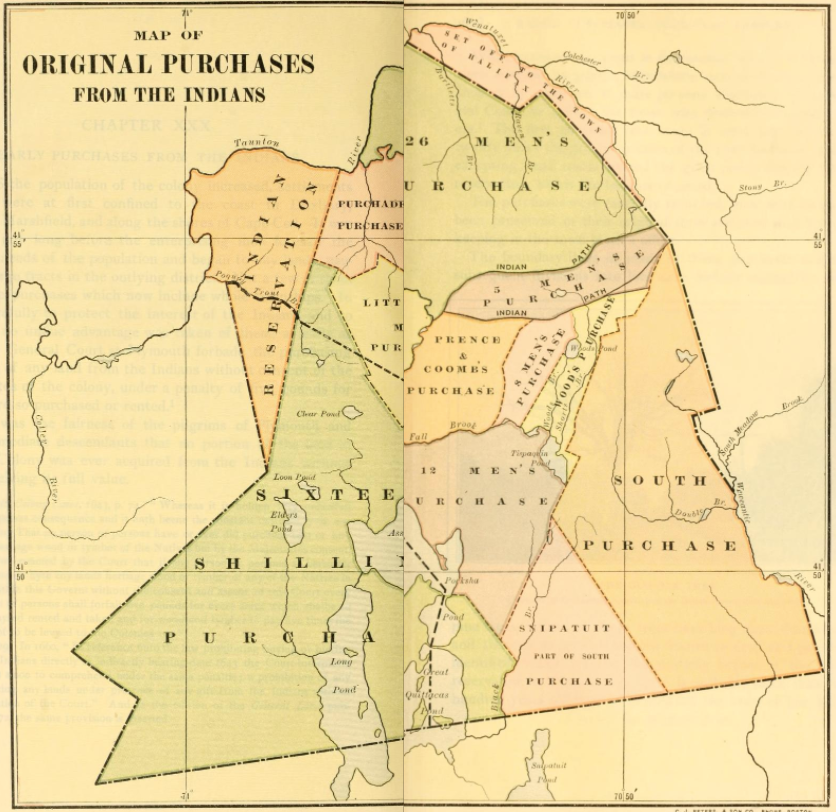
Map of Original Purchases From the Indians. Weston, History of Marlboro, Massachusetts, 582.
Indian Place Names
- Assawompset ("place of the white stones") is a pond within Middleborough (now partly within Lakeville). In 1675, John Sassamon's body was concealed under the ice in this pond. Its discovery brought suspicion on Metacomet (Philip) and was one of the causes of King Philip's War. Silverman, Faith and Boundaries, 102.
- Chupipoggut is a pond bounding Nahleawamet Neck. D-LM
- Cotukticut is an area within the bounds of Middleborough. D-LM
- Keticut (variant Ketchiquut) "on the great river" D-LM
- Massapanoh is the name for a tract of land within Middleborough. D-LM
- Nemasket "a place of fish" is a river in Middleborough. D-LM
- Pachage is a neck of land between Namasket River and a brook falling into the Teticut River. It is also the name of a village associated with the area. D-LM
- Quittiquash are hills in Middleborough as well as the name of a river there. D-LM
- Titicut ("at the great river") is the name of a village in the northern part of Middleborough. D-LM
- Tuscomanest is a tract of land within Middleborough. D-LM
Wikipedia.
Middleborough Indian Land Map